GIS & Remote Sensing
We use Geographic Information Systems (GIS) and remote sensing to analyze spatial data for decision-making. Our services include:
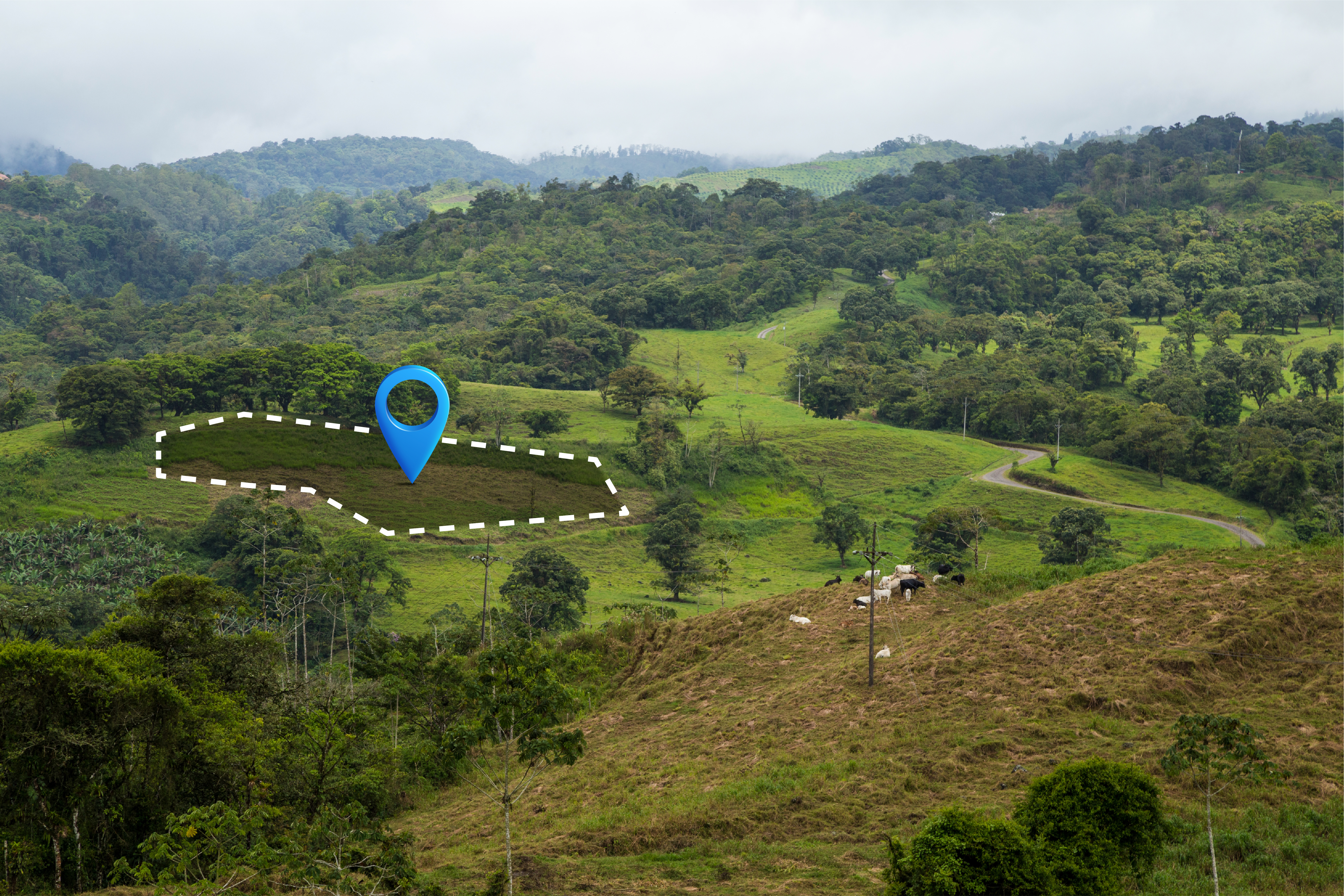
- Geospatial Analysis for Public Health & Environmental Planning – Mapping disease spread, pollution, and urban development patterns.
- Remote Sensing for Disaster Risk Reduction – Utilizing satellite imagery to predict and mitigate natural disasters.
- Mapping Climate Risks & Health Hazards – Visualizing how climate change impacts public health and communities.
- GIS Applications in Humanitarian Response & Logistics – Enhancing disaster response efforts with geospatial intelligence.

“Everything is related to everything else, but near things are more related than distant things.”
Waldo Tobler, American Geographer & Cartographer